Kelowna Wineries Map: Every Area at a Glance
The valley reads simply once you see it as pockets rather than a single sprawl. Four clusters near Kelowna, a string more heading south, and not one pair of wineries close enough to walk between. Here is the whole layout, with the drive times that decide the day.
Short answer
Kelowna's wineries fall into four nearby pockets, West Kelowna about ten minutes across the bridge, the East Kelowna slopes ten to fifteen minutes the other way, Lake Country twenty-plus minutes north, and the Naramata Bench an hour and a quarter south, with Penticton, Summerland and Osoyoos beyond. None are walkable, so plan by cluster.
Four pockets of vineyard, one long lake, and not a single pair of cellar doors close enough to walk between. That is the Kelowna wine map in a sentence, and once it clicks, the day plans itself. The confusion people arrive with, that the valley is one giant vineyard you can wander, dissolves the moment you see the clusters: a tight knot on the Westside, another on the slopes east of town, a string north through Lake Country, and a dense southern run along the Naramata Bench and beyond. Get the geography right and you spend the afternoon in the vines. Get it wrong and you spend it in the car.
How are Kelowna's wineries laid out on the map?
Kelowna's wineries sit in four main pockets around the city plus a southern run. West Kelowna clusters across the bridge, the East Kelowna slopes rise just east and south of downtown, Lake Country strings north along the lake, and the Naramata Bench, Penticton, Summerland and Osoyoos line up to the south. Each pocket is tidy inside itself and scattered against the others.
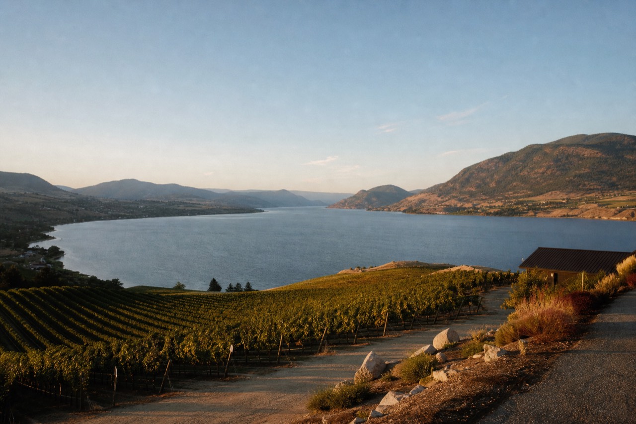
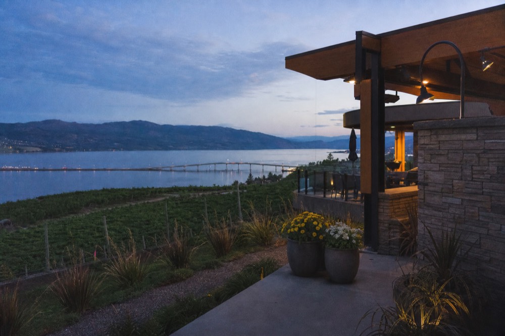
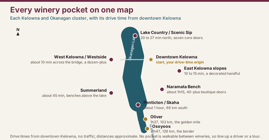
Picture the lake running roughly north to south for about 250 kilometres, with vineyards stepping up both shorelines. The Kelowna clusters are the two nearest town: the Westside estates across the bridge, home to the big architectural names, and the East Kelowna slopes just the other side of the city, quieter and wine-first. North of Kelowna, Lake Country's Scenic Sip gathers a small trail of lake-view rooms. Head south and the map opens up: the Naramata Bench an hour and a bit away, Penticton and its benches, Summerland above the lake, and the desert south around Oliver and Osoyoos. Colloquial area names like West Kelowna get used loosely, while the official sub-appellations, from the Naramata Bench to the East Kelowna Slopes, mark specific ground. The one rule that holds across every pocket is that you drive between them, which raises the obvious question of whether Kelowna has a hop-on hop-off wine bus at all.
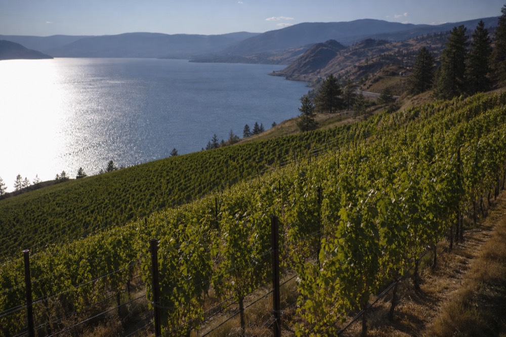
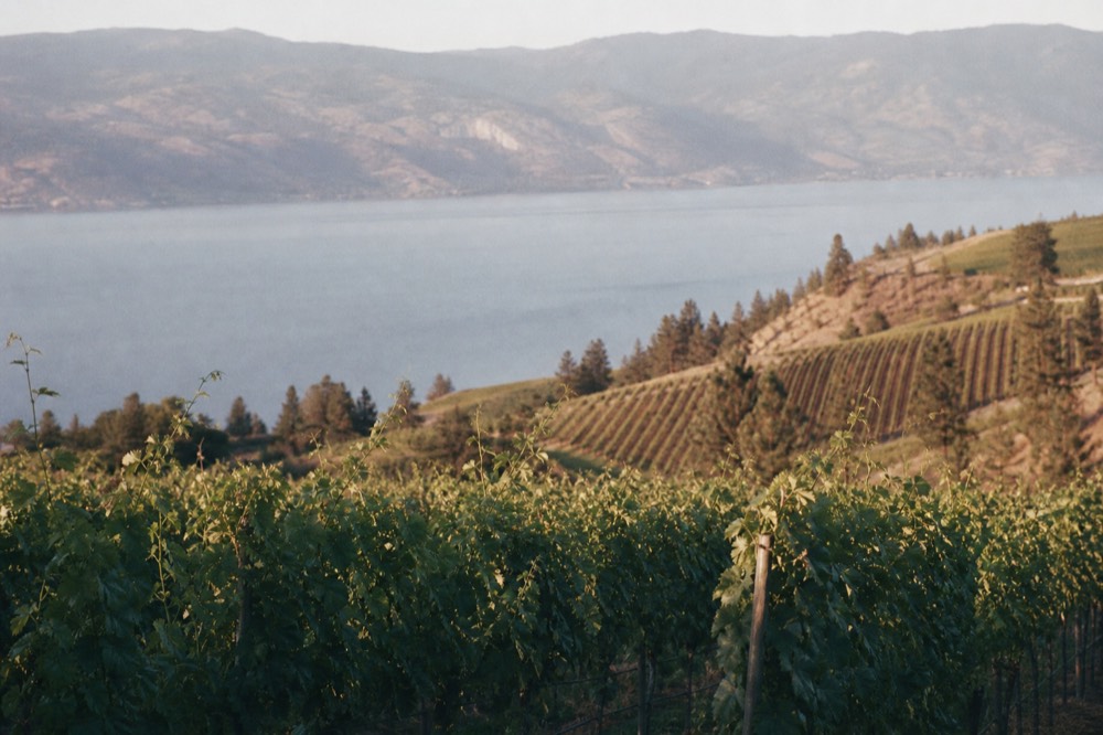
The lake is the reason the map looks the way it does. Okanagan Lake is deep and long, and it moderates the climate along its shores, taking the edge off frost in spring and holding warmth into autumn, which is why the vineyards hug the water rather than spreading inland. That same lake also splits the two nearest Kelowna pockets, the Westside on one shore and the East Kelowna slopes on the other, so the bridge across it is the single most-used piece of road on any Kelowna wine day. Further south the valley narrows and the benches climb higher above the water, which is how a fifteen-kilometre strip like the Naramata Bench ends up with more than forty producers stacked along it.
| Where it sits | Character | |
|---|---|---|
| West Kelowna / Westside | Across the bridge, west shore | The big architectural estates and icons |
| East Kelowna slopes | East and south of downtown | Quiet, wine-first, heavily awarded small rooms |
| Lake Country / Scenic Sip | 20-plus minutes north | Lake-view boutique trail, cool-climate whites |
| Naramata Bench | About 1h15 south | Dense 15 to 20 km strip of small producers |
| Penticton / Summerland | About 1 hour south | Benches at the town edges, above the lake |
| Oliver / Osoyoos | 1h27 to 1h47 south | Desert terroir, the golden-mile names |
How far is each winery area from downtown Kelowna?
West Kelowna is about ten minutes across the bridge, the East Kelowna slopes ten to fifteen minutes the other way, and Lake Country twenty to twenty-seven minutes north. Heading south, reckon on about an hour to Penticton, an hour and a quarter to the Naramata Bench, forty-five minutes to Summerland, and up to an hour and forty-seven to Osoyoos. Distance decides which pockets pair.
The drive-time matrix is the single most useful thing on this page, because it tells you what you can realistically combine. The two Kelowna pockets sit on opposite sides of downtown, each a short hop, so a full day can take in the Westside icons and a slope stop without much backtracking. Lake Country is an easy northern add. The southern regions are day-trips in their own right: worth the drive, but not something you fold into a Westside afternoon.
These are no-traffic estimates drawn from mapping tools and local guides, so add a cushion on a summer weekend when the bridge backs up. The William R. Bennett Bridge between downtown and the Westside is the pinch point, and on a hot Saturday in July or August the ten-minute crossing can stretch well past that, which quietly reshapes the day: a Westside loop that looked tight on paper starts eating time in traffic. Two practical fixes follow from the map. Point yourself at one shore and stay on it, or start early enough that the first crossing happens before the day-trippers are up. If you would rather see the pockets as pins than as a table, the best Kelowna cellar doors worth a day walks through the same geography winery by winery, and how the East Kelowna slopes line up zooms in on the nearest pocket that most visitors miss.
| From downtown Kelowna to | Drive (no traffic) | Rough distance | Walkable between wineries? |
|---|---|---|---|
| West Kelowna / Westside | About 10 minutes | Across the bridge | No |
| East Kelowna slopes | About 10 to 15 minutes | A few km east and south | No |
| Lake Country / Scenic Sip | About 20 to 27 minutes | 19 to 23 km north | No |
| Summerland | About 45 minutes | Above the lake, south | No |
| Penticton / Skaha benches | About 1 hour | 66 km south | No |
| Naramata Bench | About 1h15 to 1h25 | 43 to 48 km south | No, a 15 to 20 km strip |
| Oliver | About 1h27 | 102 km south | No |
| Osoyoos | About 1h47 | 126 km south | No |
How many wineries sit in each area?
West Kelowna holds a dozen-plus cellar doors, the East Kelowna slopes a decorated handful, and Lake Country's Scenic Sip has seven core stops. The Naramata Bench packs more than forty boutique producers into a short strip, with Penticton, Summerland and the desert south adding many more. Across the whole Okanagan there are roughly 186 licensed grape wineries.
The counts matter because they set the pace of a day. A pocket with a dozen doors gives you choice inside a tight radius, while a seven-winery trail like Lake Country's is something you can nearly complete. The Naramata Bench is the dense outlier, more than forty small producers along a fifteen-to-twenty-kilometre bench, which is why it earns its own bench-by-bench guide. Step back and the region numbers are striking: roughly 186 licensed grape wineries work the Okanagan across about 9,617 acres, close to 87 percent of British Columbia's vineyard land, part of a provincial total somewhere between 277 and 370 depending on how you count. Many of those areas carry an official sub-appellation that a label can name, from the Golden Mile Bench in the far south to the East Kelowna Slopes minutes from town.
The sub-appellations are worth knowing because they double as a map of the good ground. British Columbia recognises a growing list of them inside the Okanagan Valley: the Golden Mile Bench, the first to be approved, then the Naramata Bench, Okanagan Falls, Skaha Bench, Lake Country, the East Kelowna Slopes and South Kelowna Slopes, and a cluster around Summerland. Each one marks a distinct pocket of soil, elevation and aspect, and a wine that names it on the label must be at least 95 percent grown inside its boundary. For a visitor, they are a shortcut: if a bottle says Naramata Bench or East Kelowna Slopes, you know roughly where it grew and what to expect in the glass. The broader colloquial names, West Kelowna or Penticton, tell you the town but not the ground. For the full head count and how it breaks down region by region, how many wineries are in the Okanagan does the arithmetic.
| Area | Roughly how many cellar doors | Sub-appellation on labels | Signature grapes |
|---|---|---|---|
| West Kelowna / Westside | A dozen-plus | Used colloquially, not a single sub-GI | Pinot Noir, Chardonnay, Bordeaux reds |
| East Kelowna slopes | A decorated handful | East Kelowna Slopes, South Kelowna Slopes | Riesling, Pinot Noir, Chardonnay |
| Lake Country / Scenic Sip | Seven core on the trail | Lake Country | Riesling, aromatic whites, Pinot |
| Naramata Bench | More than 40 boutique | Naramata Bench | Pinot Noir, aromatic whites |
| Penticton / Summerland | Benches at the edges | Skaha Bench, Summerland Bench and more | Cool-climate whites, sparkling |
| Oliver / Osoyoos | The golden-mile run | Golden Mile Bench, Okanagan Falls | Merlot, Cabernet, Syrah |
Can you walk between Kelowna wineries?
No. Across every pocket on the map, the cellar doors sit too far apart to walk between, usually on rural roads with no footpath. Even inside a tight cluster like West Kelowna the doors are minutes apart by car. That single fact, more than any tasting note, is what shapes how you plan and who ends up driving.
Because the wineries are dispersed, a real day means several stops by vehicle, and a tasting flight is several pours that add up quickly. British Columbia's roadside limit sits at 0.05, with a warn range from 0.05 to 0.08 that triggers an Immediate Roadside Prohibition, a three-day driving ban on a first offence, climbing to seven then thirty days on repeats, plus a possible impound and several hundred dollars in penalties. Cross 0.08 and it becomes a criminal matter with a ninety-day prohibition. A guided day removes that whole calculation, because nobody in the group has to be the designated driver. If you do have a willing non-drinking driver in the group, self-driving is a genuine option and the map is your friend. Either way, planning by cluster is what keeps the drive time down and the tasting time up.
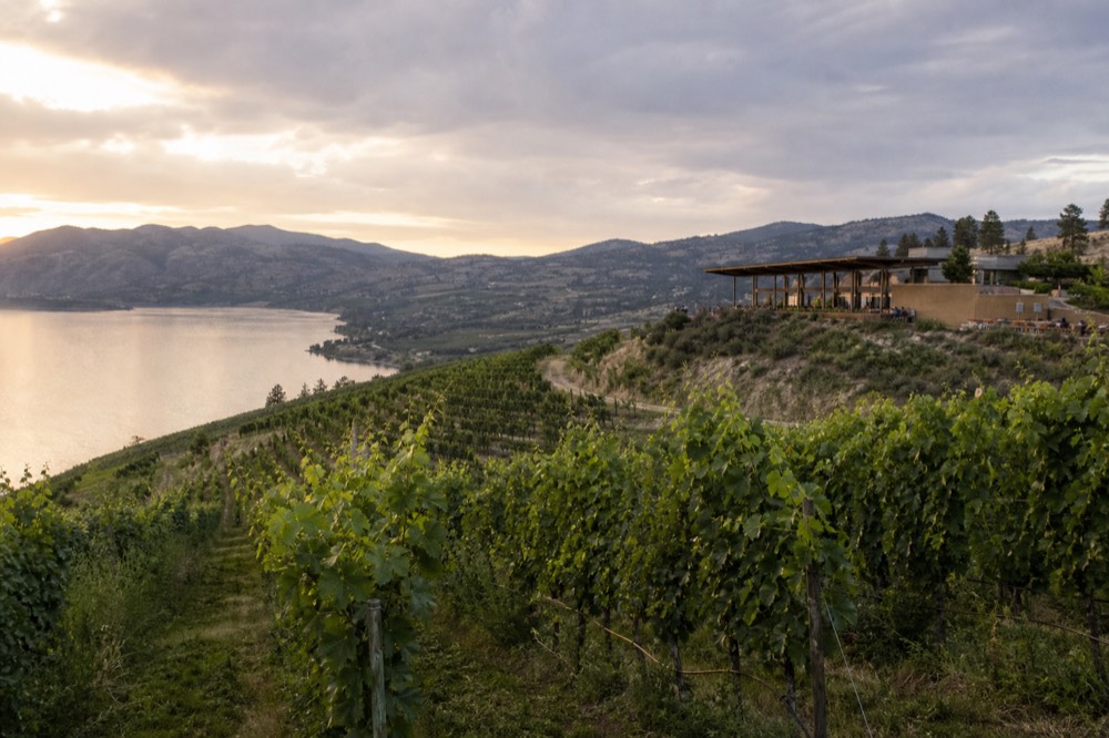
How should you plan a day by cluster?
Pick one pocket and taste it well rather than chasing the whole map. A Westside day pairs the icons with a slope stop, since both sit minutes from downtown on opposite sides. Lake Country makes a relaxed northern half-day. The Naramata Bench and the desert south are full day-trips in their own right. Match the cluster to the time you have.
The mistake first-timers make is trying to see the whole valley in one day, which turns a wine trip into a driving trip. The fix is to build around a single cluster. If you want the headline names and a taste of the slopes, the two Kelowna pockets combine neatly because they bracket downtown. If you want density and small-lot character, give the Naramata Bench a whole day rather than a rushed afternoon. Lake Country's seven-winery trail is the gentlest option, close enough to town for a half-day. And the far south, around Oliver and Osoyoos, rewards an overnight more than a same-day round trip. A private own-vehicle day is the flexible answer when you want to stitch two clusters together at your own pace.
Timing folds into the cluster choice too. The valley's busiest, hottest stretch is July and August, when the patios are full and the bigger estates move to reservations, so a nearby pocket you can reach early beats a long southern drive into midday heat. September and October are the sweet spot for most people: harvest is on, the vineyards turn gold, the crowds ease, and daytime temperatures settle around a comfortable twenty to twenty-eight degrees. May and June are the shoulder, greener and quieter with better availability. Winter thins everything out, with reduced hours and seasonal closures from November into March, so a cold-month visit means calling ahead rather than turning up. Whatever the season, roughly four cellar doors is the comfortable ceiling for a single day in any one pocket before the tastings start to blur.
A worked example makes the cluster logic concrete. Say you have one full day and want the best of Kelowna. Cross to the Westside first thing for the two icon estates before the bridge traffic builds, break for lunch at a winery kitchen over the water, then loop back through downtown to the East Kelowna slopes for a quieter, wine-first stop or two in the afternoon. That is four or five cellar doors, two pockets, and almost no wasted driving, because the whole route stays within about fifteen minutes of the city centre. Try to bolt the Naramata Bench onto that same day and it falls apart: the drive alone adds two and a half hours round trip, and you arrive at the bench too rushed to enjoy it. Save the bench for its own day, and the map rewards you.
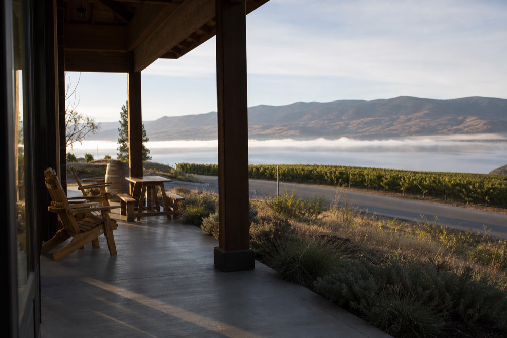
| Cluster | Time it deserves | Pairs well with | Best for |
|---|---|---|---|
| West Kelowna icons | Half to full day | An East Kelowna slope stop | First visits, architecture, big names |
| East Kelowna slopes | Half day | The Westside icons | Wine-first tasting, awarded small rooms |
| Lake Country / Scenic Sip | Half day | A downtown lunch | A gentle, lake-view trail |
| Naramata Bench | Full day | Nothing, give it the day | Small-lot Pinot, density of choice |
| Penticton / Summerland | Full day | Naramata, if based south | Benches, sparkling, cool-climate whites |
| Oliver / Osoyoos | Overnight | A south-Okanagan base | Desert reds, the golden-mile names |
Which tour covers which area on the map?
A full-day tour aims at the Westside icons plus a couple more, a relaxed afternoon run covers a nearby cluster door to door, a five-winery day heads down to the Naramata Bench, and a private own-vehicle day can point at any pocket you like. Once you know the cluster you want, the map picks the tour for you.
Reach against pace, again. The Mission Hill and Quails' Gate full day is built tightly around the two headline Westside names with lunch and Kelowna pickup across about seven hours, the natural pick for a first visit that wants the icons. When that is the pocket you have settled on, you can book the Mission Hill and Quails' Gate full day and check availability on the operator's listing, where the current Canadian price and open dates are kept live. For the Naramata Bench an hour south, the five-winery day with lunch is the single best read on why the bench has its reputation, and it starts the day already down there rather than burning an hour of driving from Kelowna first.
The relaxed afternoon sightseeing run, with its door-to-door pickup, is the most-reviewed option on this page for anyone who wants a nearby cluster without committing a full day, so if a Westside or slope pocket is all you are after you can book the door-to-door afternoon run and check current availability and prices on the listing. The pattern across all of them is the same: the tour that fits is the one built for the pocket you chose off the map, not the one that promises to cover everything. If you want to compare formats before you commit, private wine tours in Kelowna covers when a per-group day beats a shared seat, and how to tour the whole valley steps back to the wider logistics.
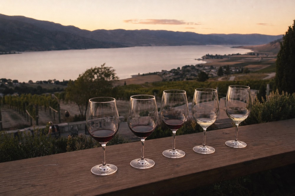
| Tour | Cluster it reaches | Length | Rating |
|---|---|---|---|
| Mission Hill & Quails' Gate full day | Westside icons plus two more | About 7 hours | 4.9 (86) |
| Naramata Bench 5-winery with lunch | The Naramata Bench, south | Full day | 4.9 (20) |
| West Kelowna half-day | Westside cluster | About 4 hours | 4.7 (76) |
| Kelowna afternoon sightseeing | A nearby cluster, door to door | About 4 hours | 4.9 (249) |
| Private, own vehicle | Any pocket, your route | Full day | 5.0 (35) |
Which areas are new or worth adding in 2026?
The Kelowna and Lake Country border gained Azhadi Vineyards in February 2026, a large gravity-flow winery with a restaurant and lake views. Ailm Estate opened on the South Kelowna Slopes in June. Both add fresh pins to the map. And the honest backdrop to every 2024 and 2025 bottle is that some fruit came from outside the region after the freeze.
Two openings changed the near-Kelowna map for 2026. Azhadi Vineyards opened to the public in February in the McKinley area on the Kelowna and Lake Country edge, a 30,000-square-foot gravity-flow winery with the Journey restaurant and Persian-inspired architecture, its first estate grapes picked in 2025. Ailm Estate followed in June on the South Kelowna Slopes, from the Stewart family behind Quails' Gate. Up in Lake Country, O'Rourke's Peak Cellars keeps expanding its Row 188 restaurant service. The context worth carrying to any tasting: a January 2024 deep freeze wiped out roughly 95 to 99 percent of the Okanagan crop, and a temporary British Columbia program allowed imported Washington and Oregon fruit for the 2024 and 2025 vintages, so bottles from those years may not be entirely Okanagan-grown even where the label reads local. That allowance was not extended to 2026, and the 2025 harvest recovered to around nine-tenths of a normal crop. It is a region on the mend, and the newest rooms are among the most interesting pins on the board.
Common questions
Is there a single map of all the Kelowna wineries?
There is no one official pin-map covering every area, because the wineries span several distinct pockets from the Westside to the desert south. The most useful way to read the region is by cluster and drive time, which is exactly how this page is laid out, so you plan around one pocket at a time.
Which winery area is closest to downtown Kelowna?
The two Kelowna pockets are the closest, each about ten to fifteen minutes from the city centre on opposite sides. West Kelowna sits across the bridge, and the East Kelowna slopes rise just east and south of town. Lake Country is the next nearest at roughly twenty to twenty-seven minutes north.
How many winery areas can you cover in one day?
Realistically one, or two if they are the neighbouring Kelowna pockets. The Westside and East Kelowna slopes combine well because they bracket downtown. The southern regions like the Naramata Bench or Osoyoos each deserve a full day of their own rather than being squeezed into a Westside afternoon.
Do you need a car to visit Kelowna wineries?
You need a vehicle of some kind, because nothing worth a tasting sits within a comfortable walk and the clusters are all a drive apart. That is your own car with a non-drinking driver, or a guided tour that handles the driving so nobody in the group has to count sips against the road limit.
When is the best time to visit the Kelowna wineries?
September and October are the sweet spot for most visitors, with harvest under way, gold in the vineyards, gentler crowds and daytime temperatures around twenty to twenty-eight degrees. July and August are the hottest and busiest, so book ahead and cross the bridge early. May and June offer shoulder-season value, while winter thins hours and closes some rooms, so call ahead from November into March.
That simple picture, pockets rather than sprawl, is why Kelowna Wine Tours lines up each area against the tour that reaches it, so a group can pick a cluster and taste it without anyone drawing the short straw at the wheel. Read the map, pick your pocket, and the rest of the day falls into place.